An overview of the state
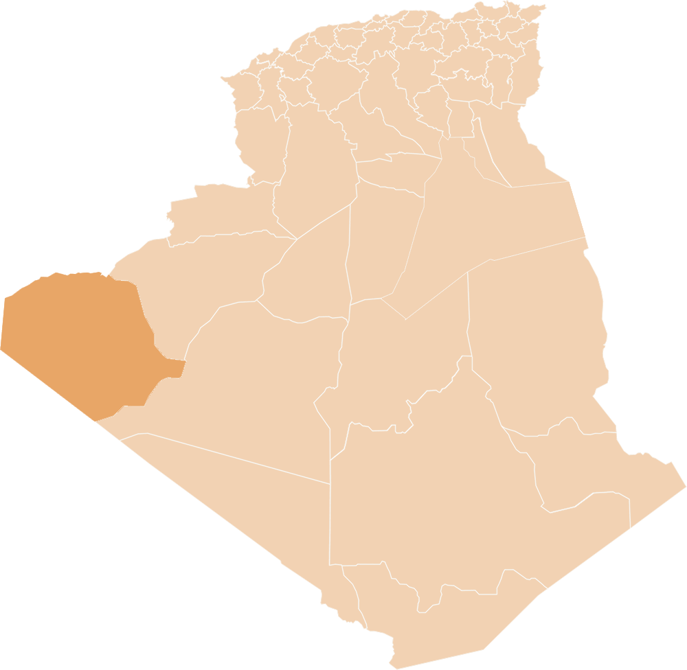
The state occupies a geo-strategic location in the southwest of the country. It occupies an area of 158,874 km² with an estimated populationof 49,149 people, according to the General Census of Population and Housing, 2008. The population was estimated until December 31, 2020 about: 103.725 people, and a population density of 0.65 n. / km².It is bordered: on the north and west the Kingdom of Morocco; From the northeast Bechar Province; From the west the Sahrawi Arab Democratic Republic; From the east Adrar Province; From the souththe Islamic Republic of Mauritania.
The Wilaya merges with the desert areas over which “Hamada” conquered, with its vastness extending to the northeast of the Atlas Mountains, where Hamada is known locally under the names of Adwakhil in the east and Raqeda in the south, and it is characterized by a unilateral terrain.
general information
The Wilaya is part of a desert complex strongly dominated by the hamada, a very large area and its limit in the northeast is the foothills of the Atlas. The Hamada is known locally under names such as Douakhil in the East and Orqueida in the South and is presented by a succession of monoclinal reliefs.
The sebkha which developed in the depression zone over a length of about 100 km and a width of 10 to 20 km in a west-east direction.
The Yetti-Eglab Massif, located south of the Wilaya, consists of peneplain land where the relief shows intrusions of Diorite and Rhydite.
Erg Iguidi extends to the West and covers with its dunes the Eglab Massif to the West and North, its geological structure presents an aspect of the Saharan region formed of Ergs, Rocky plateaus and valleys dug by wadis.
Resulting from the last administrative division of the year 1984, the wilaya includes 02 municipalities: Tindouf and Oum El Assel. It is characterized by:
* A desert climate, hot and arid.
* Availability of energy (Solar and Wind).
* The existence of local useful substances.
* A disproportionate demographic growth compared to the immensity of the territory.
In terms of water, the water resources of the Wilaya are almost unknown, consisting of groundwater from fossils. Currently there are four geological formations:
• The Upper Visen water table: constitutes the main source of drinking water supply for the town of Tindouf from the Hassi Abdallah catchment field.
• The Hammadian aquifer: is characterized by flow rates varying from 2 to 15 l/s; it has a high sulphate and chloride content.
• The Devonian Sandstone Aquifer: freshwater aquifer is characterized by operating flow rates ranging from 2 to 12 l/s with good chemical quality and a residue ranging from 0.6 to 1.50 g/l.
• The Gambro Ordovician sandstone aquifer: located south of the Wilaya and is characterized by very low flows